Bath Skyline Walk: 6-Mile Route, Map, Parking and Pubs
The Bath Skyline walk stage by stage: 6 miles from Bathwick Hill, 3.5 to 4 hours, no car park, the bus to the start, the 3-mile Walk to the View, four more walks in Bath and where to eat afterwards.
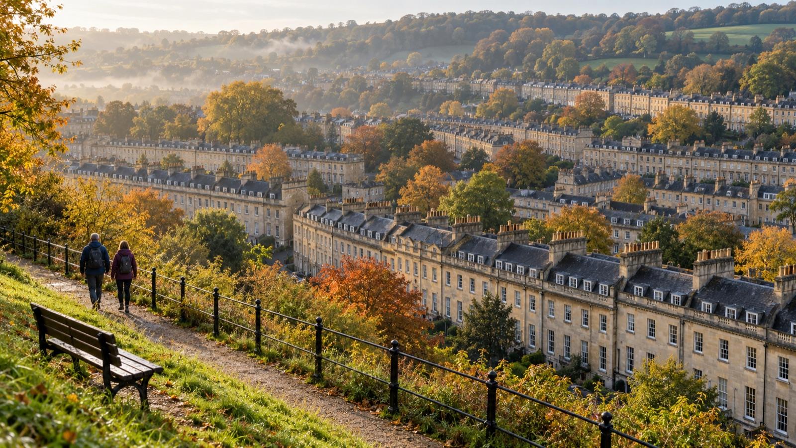
In short: the Bath Skyline walk is a 6-mile (9.6 km) circular National Trust route that takes 3 hours 30 minutes to 4 hours. It starts on Bathwick Hill at Cleveland Walk (BA2 6JP) and runs clockwise through woods and fields past Sham Castle. There is no National Trust car park, so take the bus to Cleveland Walk. For a shorter walk, the Trust's 3-mile Walk to the View starts at Bath Abbey. Checked on 28 October 2026.
The Bath Skyline walk is the National Trust's circular walk on the hills above the city. This guide gives the route, the start, how to get there without a car and where to eat afterwards. It also covers five shorter walks for days when four hours is too much. Route facts come from the National Trust's own trail notes; the parks, pubs and cafés are from our directory and their own websites.
Which walk in Bath should you pick?
The Skyline if you have half a day and boots; Alexandra Park if you have an hour and want the view.
| Walk | Distance and time | Terrain | Start |
|---|---|---|---|
| Bath Skyline | 6 miles, 3.5 to 4 hours | Moderate: steep hills, steps, a stile | Bathwick Hill, Cleveland Walk |
| Walk to the View | 3 miles, 1.5 hours | Easy: mainly flat, one climb | Bath Abbey |
| Alexandra Park | Up and back from the centre | Zig zag path, uphill | Holloway |
| Royal Victoria Park | As long as you like | Park paths | City Centre |
| Beckford's Tower | About 45 minutes each way | Uphill road, then 154 steps | Lansdown Road |
What is the Bath Skyline walk route?
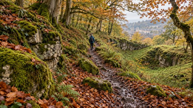
The Bath Skyline walk is an 11-stage loop on the hills east and south of the city, walked clockwise. The National Trust asks walkers to follow the clockwise directions.
Bath Skyline

About 500 acres of National Trust woodland and farmland above Bathwick, with play areas and views back over the city. The full walk is the best half day out on foot in Bath, and it is not a stroll: the Trust rates it moderate.
- 🥾 6 miles (9.6 km), circular
- ⏰ 3 hours 30 minutes to 4 hours
- ⛰️ Steep hills, steps, a rocky section, a stile
- 🐕 Dogs under close control
- 📍 Start: Bathwick Hill at Cleveland Walk, Bathwick
The route, stage by stage: from the Bathwick Fields entrance, cross to Cleveland Walk and climb through fields to a bench where a 200 m detour reaches Sham Castle, built in 1762 for Ralph Allen (not National Trust land). The path then drops into Bathwick and Bathampton Woods, where deep hollows mark old limestone quarrying and rows of stones are the remains of an 18th-century tramway. Out on Claverton Down, grassy banks are an Iron Age field system. Past Monument Field, the view opens down Lyncombe Vale, with Prior Park at its head. The last stretch runs through Smallcombe Wood, which the Trust calls the most ancient woods in Bath, with a 140 m detour to Smallcombe Garden Cemetery, then across Richens Orchard back to the start.
Good to know: the Trust advises sturdy footwear. Dogs go on leads around grazing animals, farmland and the Woodland Play Area. The Trust's printable trail map is on its Bath Skyline walk page, and its Skyline team answers on 01225 833977.
Where do you park for the Bath Skyline walk?
There are no National Trust car parks on the Skyline, so the Trust points walkers to the bus. Take a bus from Bath Bus Station or Dorchester Street, in front of the railway station, and get off at Cleveland Walk on Bathwick Hill. On foot, the start is 0.8 miles (1.3 km) from Bath Spa station. If you must drive, our parking in Bath guide lists the city car parks and park and ride.
What are the best shorter walks in Bath?
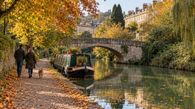
The National Trust's Walk to the View is the best short walk: half the Skyline's length, mostly flat and starting in the centre.
Walk to the View (National Trust, 3 miles)
A 9-stage loop from Bath Abbey on Kingston Parade, over Pulteney Bridge and along Great Pulteney Street into Sydney Gardens beside The Holburne Museum. It follows the Kennet and Avon Canal towpath to lock 13, climbs to a bench beside Bathwick Fields with the view the walk is named for, crosses Richens Orchard and returns by North Parade.
- 🥾 3 miles (4.8 km)
- ⏰ 1 hour 30 minutes
- 👟 Easy: mainly flat, surfaced paths, one ascent
- 📍 Start: Bath Abbey, Kingston Parade
Alexandra Park

An 11-acre park opened in 1902 on top of Beechen Cliff, with panoramic views of the city. From the centre, walk via Holloway and take the zig zag path opposite the Magdalen Chapel all the way to the top.
- 🌄 Viewing area
- 🐕 Dogs free to roam, not in the playground
- 🚻 20p toilets by the entrance
- 📍 Shakespeare Avenue, Bear Flat
Royal Victoria Park

Bath's largest park, opened in 1830 and open at all times with no admission charge. Walk a loop of the lawns and add the Botanical Gardens inside it, free and open all year, with a rock garden, pool and woodland garden.
- 💷 Free, open at all times
- ☕ Café, 8am to 5pm
- 🚗 On-road pay and display, first hour free
- 📍 City Centre
Prior Park

The National Trust landscape garden Ralph Allen created, with a 1755 Palladian bridge, lakes and views over the city. It sits at the head of Lyncombe Vale, the valley the Skyline's stage 9 viewpoint looks down.
- 🌳 Landscape garden, National Trust
- 🌉 1755 Palladian bridge
- 📍 Widcombe
Good to know: we could not read the National Trust's Prior Park page today, so check its opening days and admission there before you go.
Beckford's Tower and Museum

A walk with a reward at the top: head north up Lansdown Road, following signs for Bath Racecourse, and the tower's own site puts the walk at around 45 minutes. Inside, 154 steps lead to the Belvedere.
- 📅 Saturdays and Sundays, 31 October to 13 December 2026
- ⏰ 10am to 4pm, last admission 3.30pm
- 🎟️ Adults £10, under 18s free with an adult
- 📍 Lansdown Road, Lansdown
Where can you eat and drink after a walk in Bath?
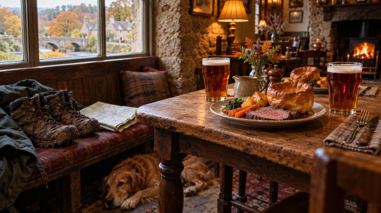
Bathwick, at the foot of Bathwick Hill where the Skyline starts, and Widcombe, just across the river from the back of Bath Spa station, both have pubs and cafés.
The Pulteney Arms

A traditional real ale pub in the CAMRA Good Beer Guide, with a Sunday roast in the winter months and an enclosed courtyard. Closed on Mondays and Tuesdays.
- 🍽️ Sunday food 12pm to 3pm
- ⏰ Wednesday to Sunday from 12pm
- 📍 37 Daniel Street, Bathwick
Ring O Bells

A Widcombe pub open all day, serving breakfast from 8.30am and a Sunday lunch it calls famous. Book by phone or email for now, while its online booking is not live.
- 🍽️ Sunday lunch 12pm to 4pm
- ⏰ Daily from 8.30am
- 📍 10 Widcombe Parade, Widcombe
The Halfpenny

Opened in 2024 on Widcombe's high street, for breakfasts, brunches, waffles and sandwiches, with small plates after 4pm from Wednesday to Saturday.
- ⏰ Daily from 9am (10am weekends)
- 🍳 Breakfast and brunch
- 📍 Claverton Buildings, Widcombe
The Colombian Company Widcombe Parade

The coffee stop for walkers with dogs: the shop says it is 100% dog friendly, with plenty of seating.
- ⏰ Weekdays 7am to 4pm, Saturday 8am to 3.30pm, Sunday 9am to 3pm
- 🐕 Dog friendly
- 📍 9a Claverton Buildings, Widcombe
Bathwick Boatman

An old rowing clubhouse above the boating station, with a covered terrace over the river. Book it for a proper Sunday roast after the walk, not for muddy boots: it takes reservations only and no dogs.
- 💷 Sunday lunch £33 for 2 courses, £42 for 3: a guide, check the menu
- ⏰ Sunday 12pm to 7pm, last orders 5pm
- 📍 Forester Road, Bathwick
Bath Skyline walk FAQ
How long is the Bath Skyline walk?
The full walk is 6 miles (9.6 km) and takes 3 hours 30 minutes to 4 hours. The National Trust's shorter Walk to the View is 3 miles and takes about 1 hour 30 minutes.
Is the Bath Skyline walk hard?
The National Trust rates it moderate. The route has steep hills, a rocky uneven section, steps and a stile, so sturdy footwear is advised.
Where does the Bath Skyline walk start?
It starts and ends on Bathwick Hill at Cleveland Walk, BA2 6JP, at the entrance to Bathwick Fields. Walk it clockwise, as the National Trust asks.
Is there parking for the Bath Skyline walk?
There are no National Trust car parks on the Skyline. Take a bus from Bath Bus Station or Dorchester Street to Cleveland Walk on Bathwick Hill.
Can you walk dogs on the Bath Skyline?
Yes. Dogs must be under close control and on leads around grazing animals, farmland and the Woodland Play Area.